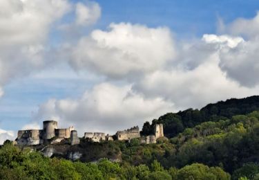
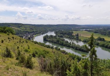
13,3 km | 16,2 km-effort
Tosny(Nord) autour des Etangs
douneto
Gebruiker
Lengte
9,7 km
Max. hoogte
24 m
Positief hoogteverschil
60 m
Km-Effort
10,5 km
Min. hoogte
8 m
Negatief hoogteverschil
62 m
Boucle
Ja
Datum van aanmaak :
2019-04-30 14:32:48.539
Laatste wijziging :
2019-04-30 14:32:48.571
2h24
Moeilijkheid : Gemakkelijk
Gratisgps-wandelapplicatie
Over ons
Tocht Stappen van 9,7 km beschikbaar op Normandië, Eure, Les Trois Lacs. Deze tocht wordt voorgesteld door douneto.
Beschrijving
Randsonnée Novembre 2015
Plaatsbepaling
Land:
France
Regio :
Normandië
Departement/Provincie :
Eure
Gemeente :
Les Trois Lacs
Locatie:
Unknown
Vertrek:(Dec)
Vertrek:(UTM)
382243 ; 5453849 (31U) N.
Opmerkingen
Wandeltochten in de omgeving
Les Andelys - Le Thuit et ND de Bellegarde
Stappen
Moeilijk
(1)
Les Andelys,
Normandië,
Eure,
France
3h 40min
Ja
Les Andelys - Le Thuit var 2
Stappen
Gemakkelijk
(1)
Les Andelys,
Normandië,
Eure,
France
8,3 km | 10,3 km-effort
2h 14min
Ja
Villers-Venables_13Km
Stappen
Medium
Villers-sur-le-Roule,
Normandië,
Eure,
France
11,9 km | 14,9 km-effort
3h 10min
Ja
Les Andelys le Mont Pivin
Stappen
Moeilijk
Les Andelys,
Normandië,
Eure,
France
10,1 km | 14,4 km-effort
3h 16min
Ja
Les falaises de craies des Andelys
Stappen
Moeilijk
Les Andelys,
Normandië,
Eure,
France
7,6 km | 11,3 km-effort
3h 21min
Ja
les Andelys du 11/09/2022
Stappen
Zeer moeilijk
Les Andelys,
Normandië,
Eure,
France
18,1 km | 22 km-effort
4h 17min
Ja
20200521 GR2 Les Andelys
Stappen
Medium
Les Andelys,
Normandië,
Eure,
France
11,1 km | 15,9 km-effort
3h 4min
Ja
La Mare sous Venables
Stappen
Gemakkelijk
Les Trois Lacs,
Normandië,
Eure,
France
8,5 km | 9,6 km-effort
2h 5min
Neen
Parcours agréable. Chemins larges. Randonnée facile. Accessible tous publics.